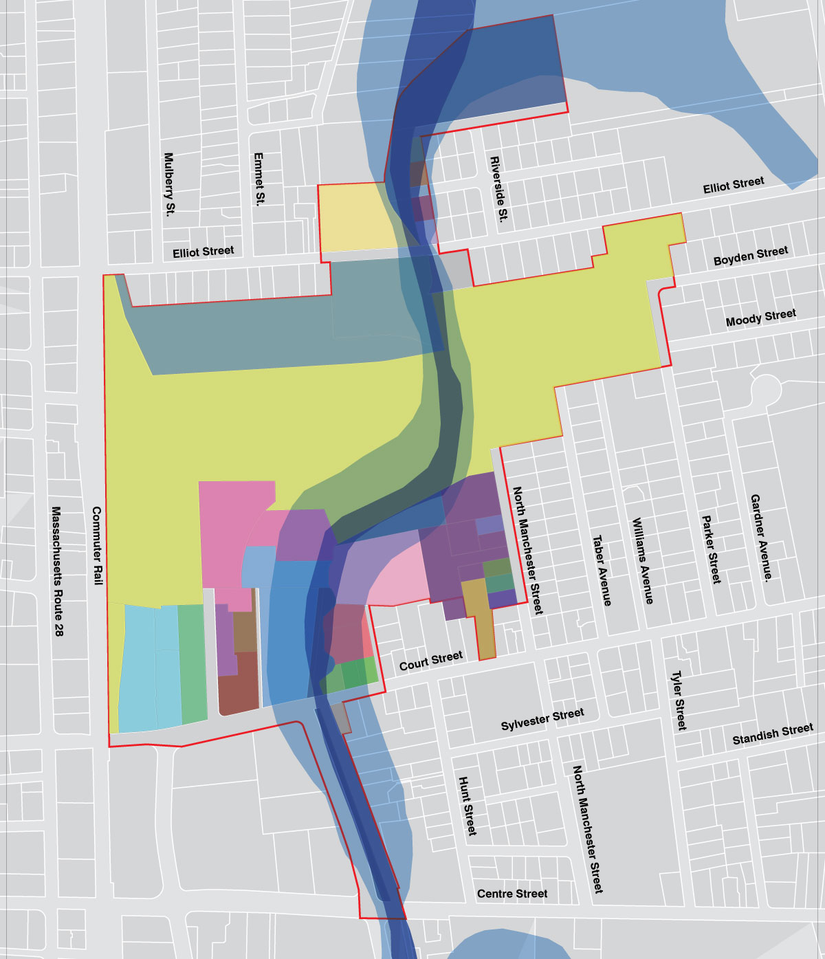
Designed maps indicating project area and offering information on zoning, buildings existence, flood zones and use of land.
Graphic Interpretations
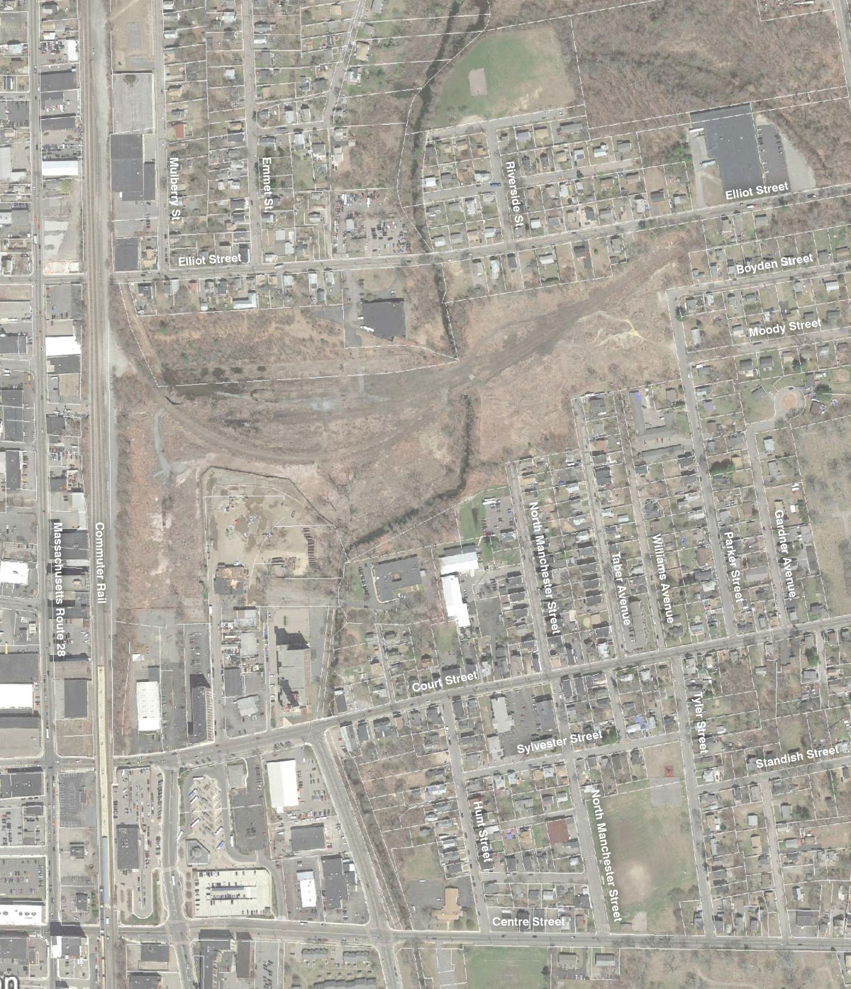
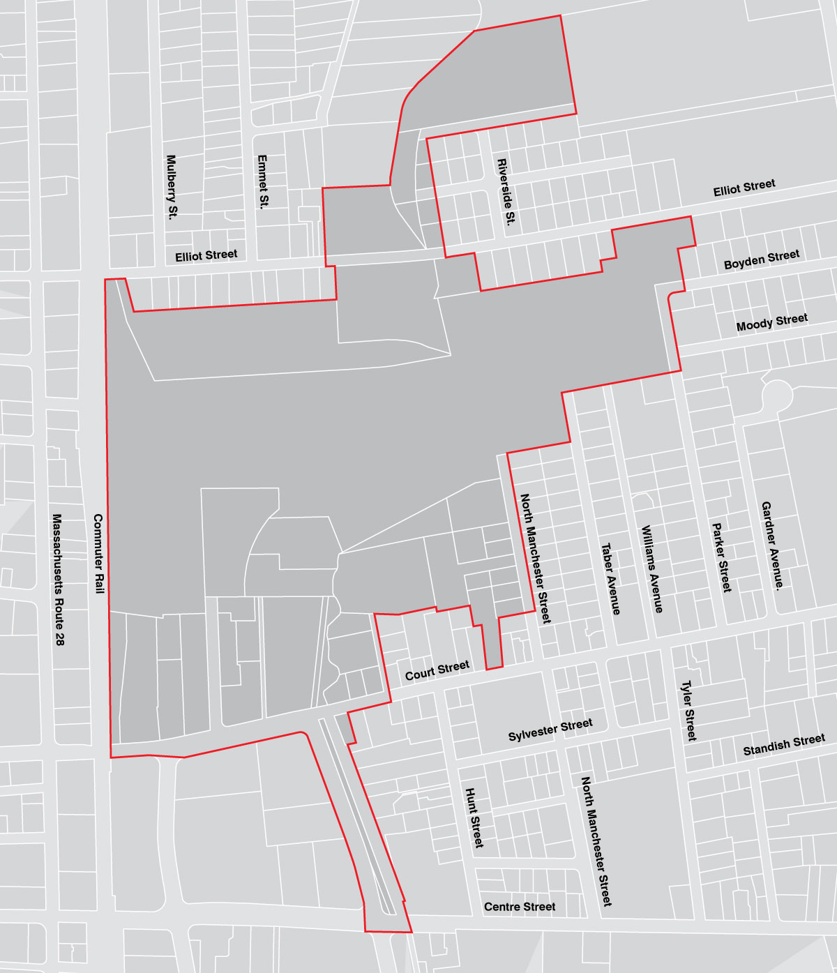
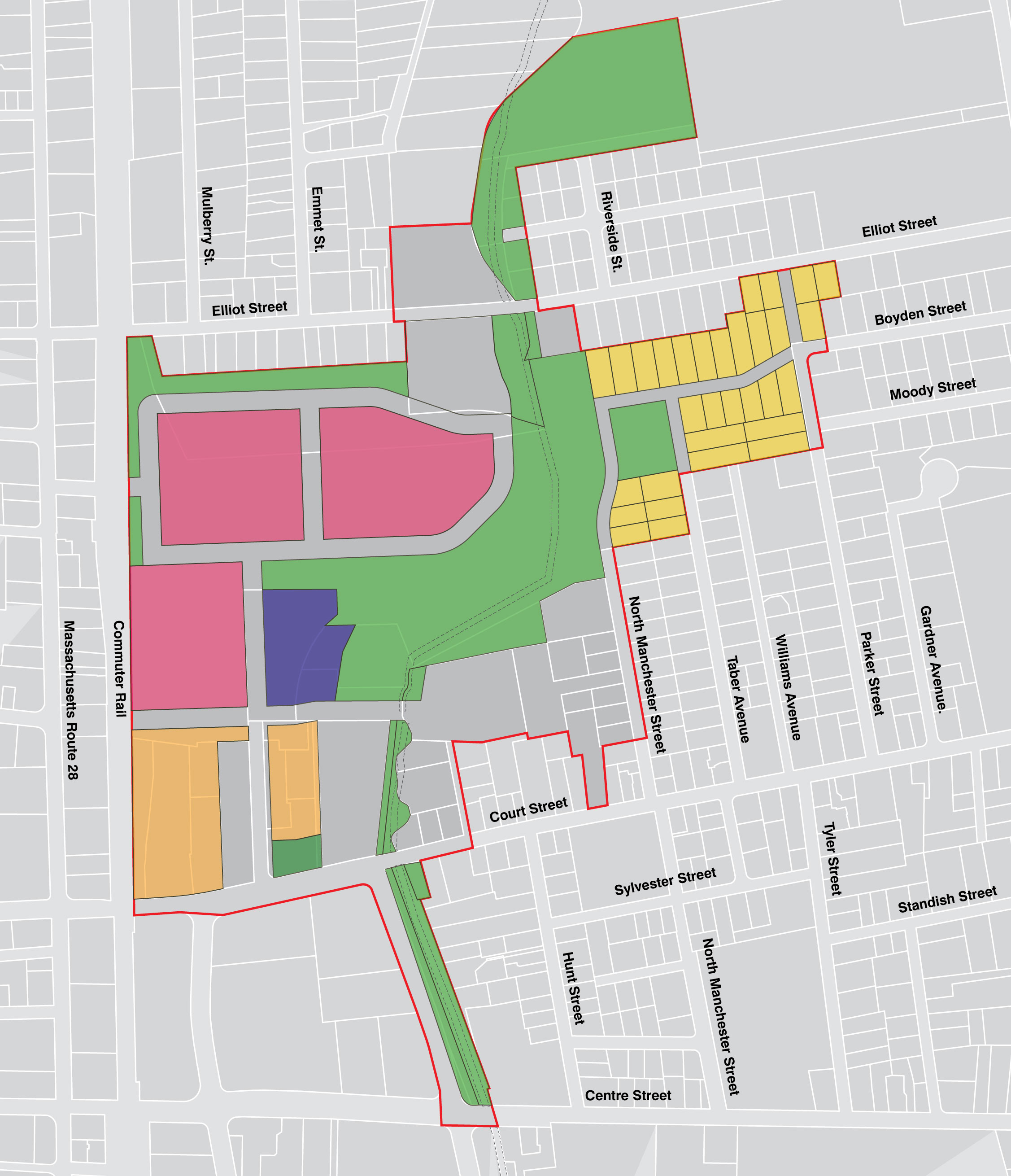
Project Area
Lots Projected for Development
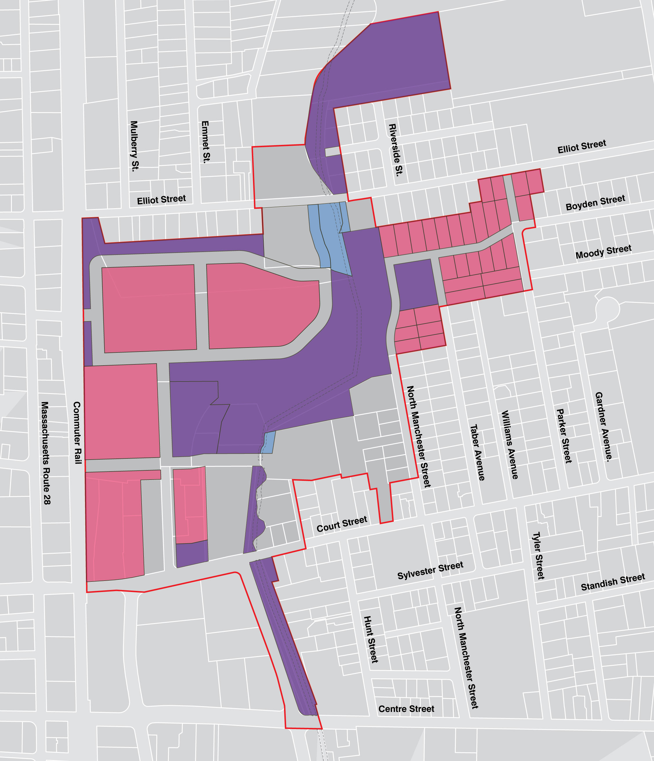
Use of Land
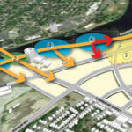
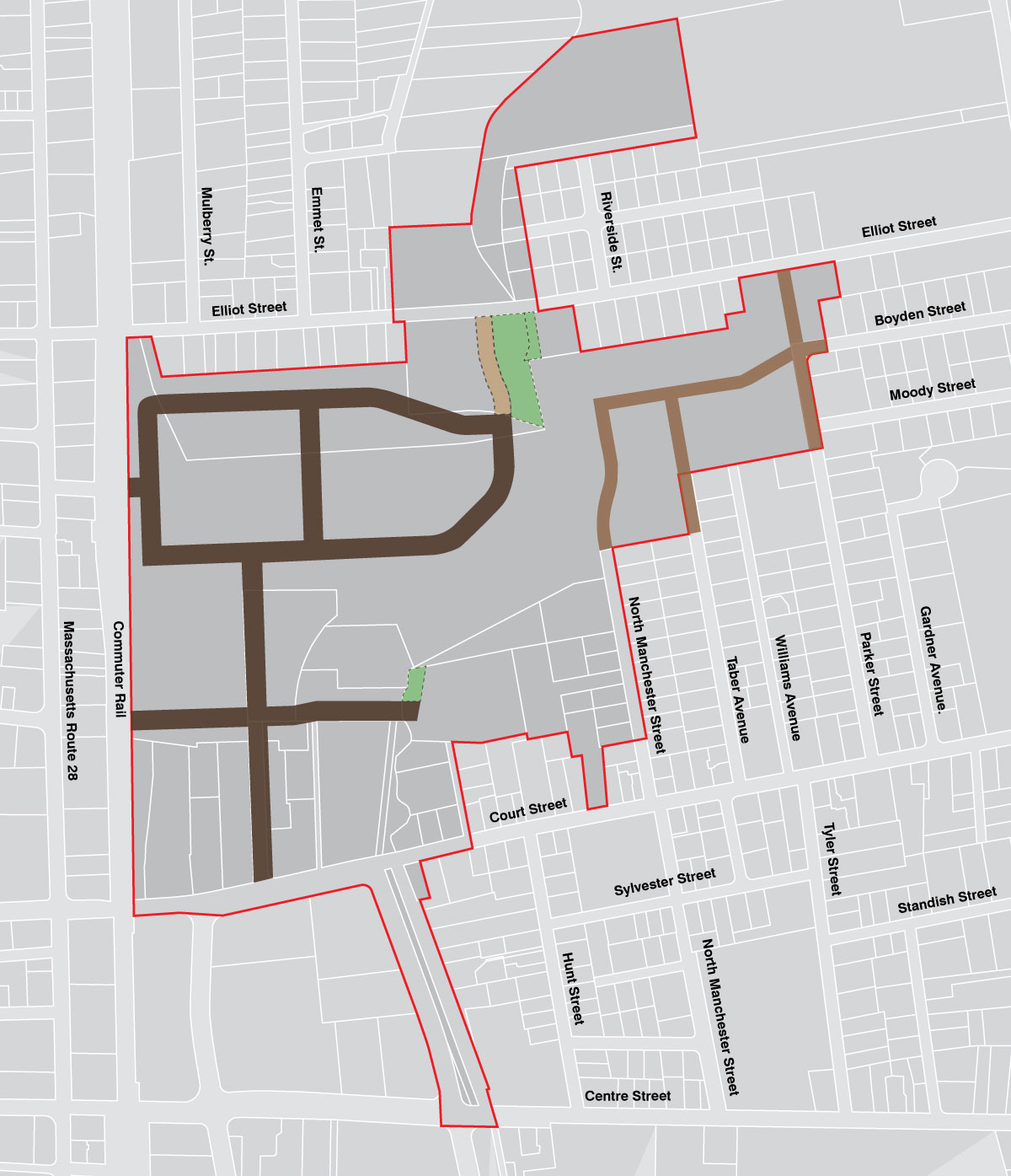
Designation of Major Roadways and Access Points
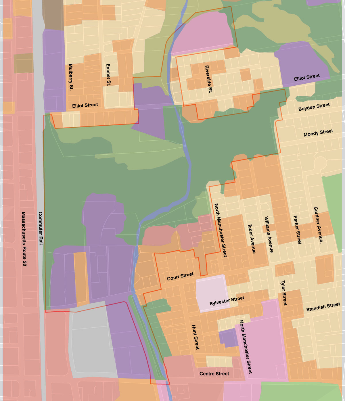
Broader Use of Land
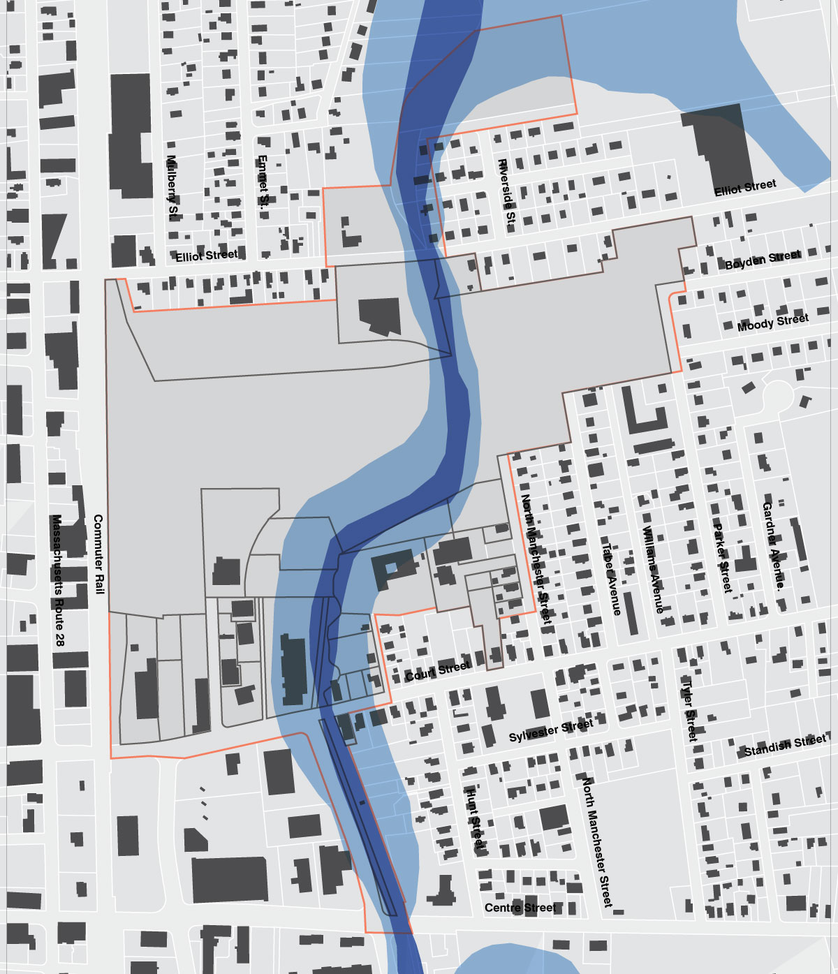
Building Footprints and Projected Flood Zones
Industrial, Business and Residential Zoning and Projected Flood Zones